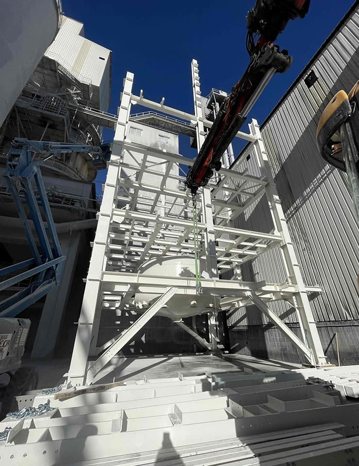
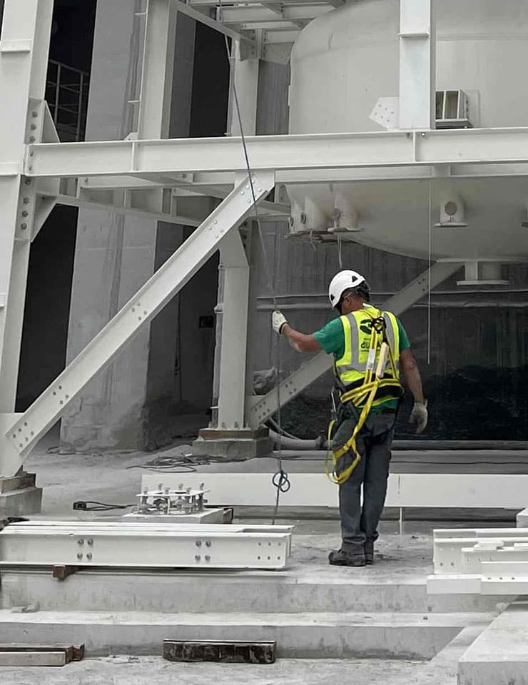
3D Laser scanner surveying
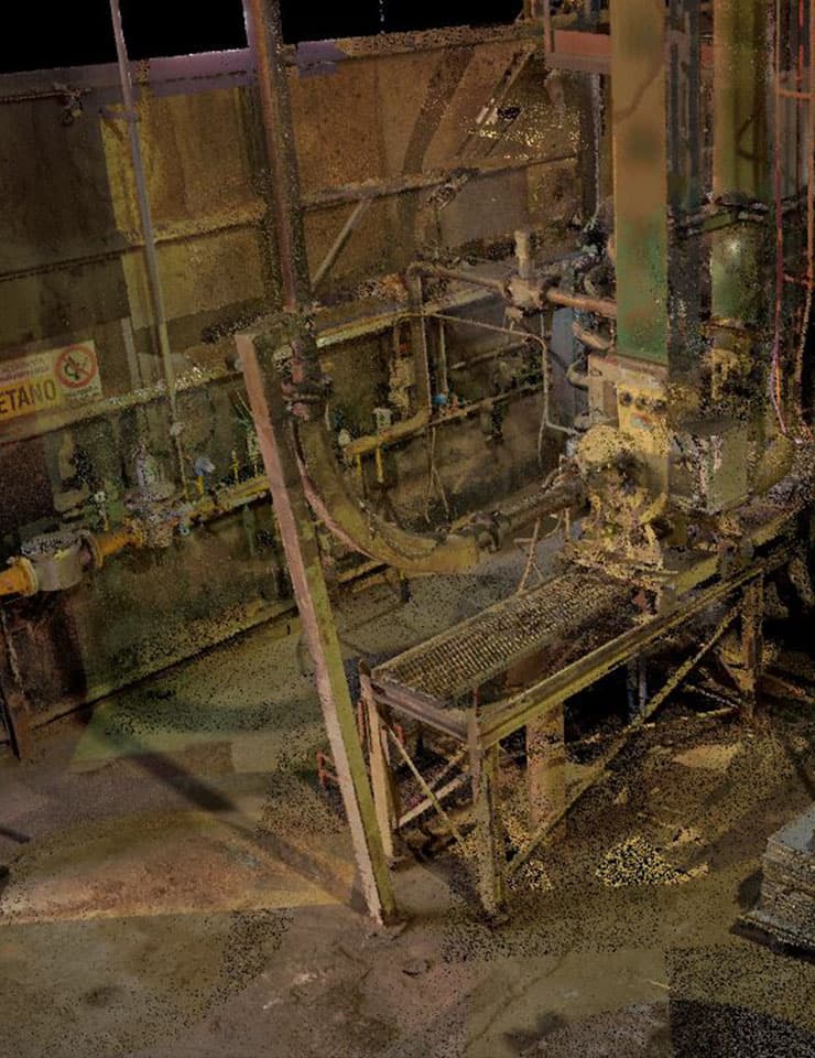
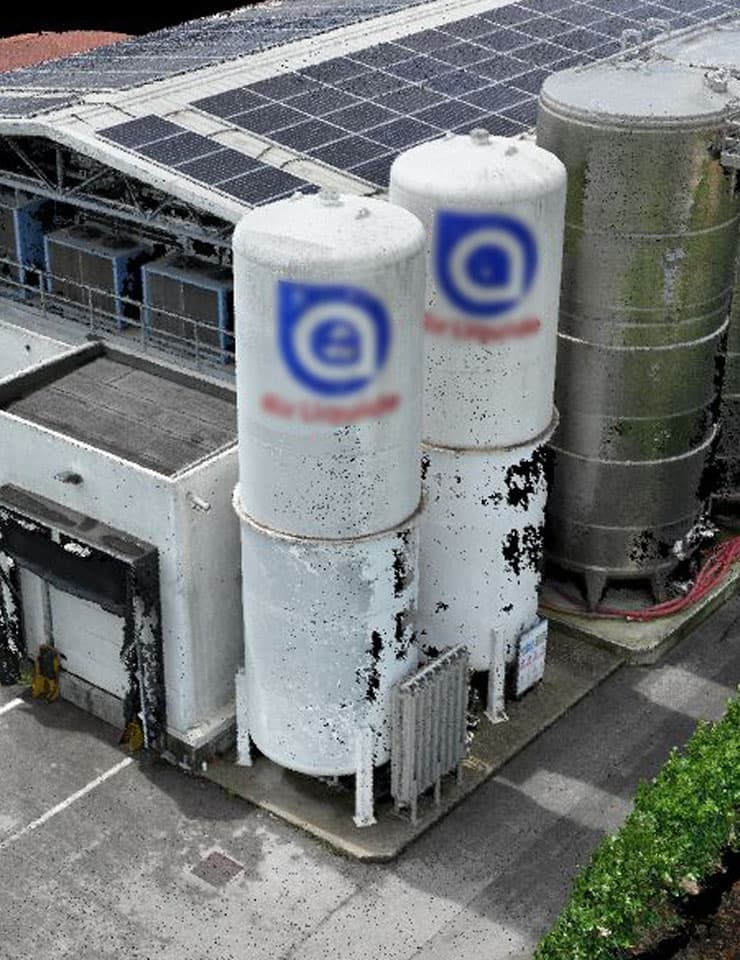
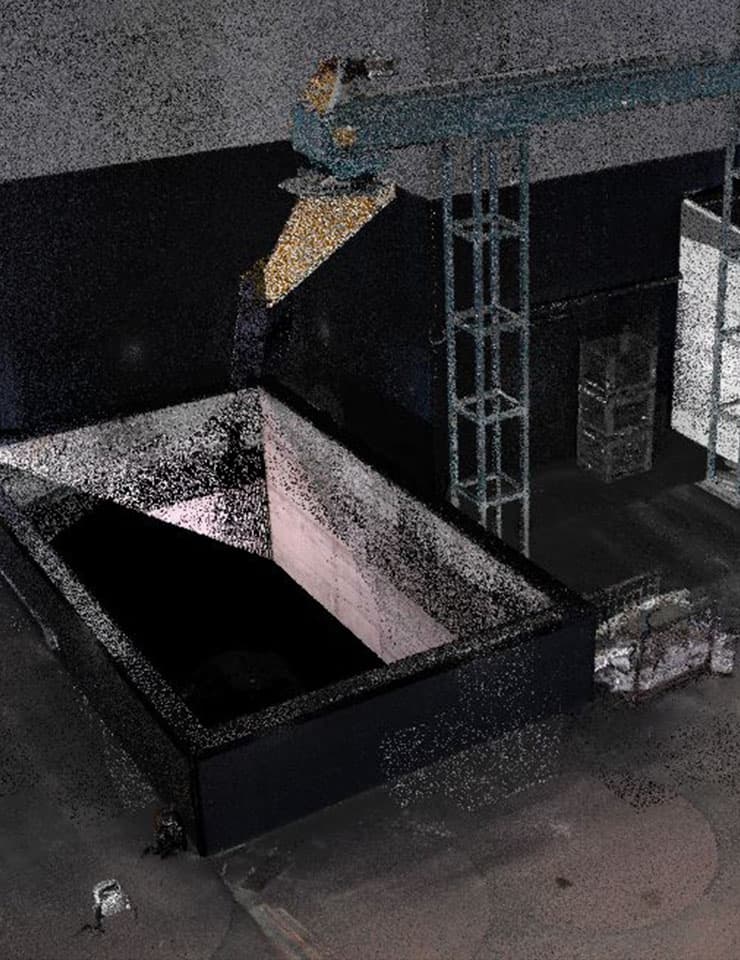
In the industrial field, 3D laser scanner surveying represents a fundamental support during the preliminary phase of an engineering project. This methodology allows for the surveying of even the most complex and extended buildings, producing accurate and complete three-dimensional documentation of the current state of the structure. This can include industrial buildings, machinery, or complex plants.
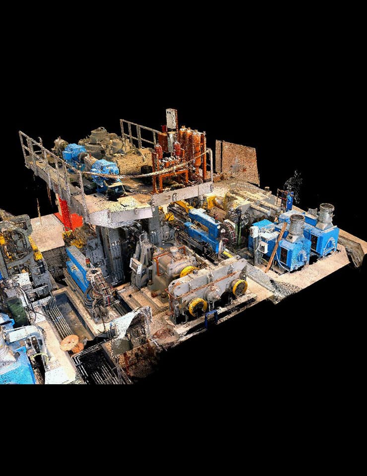
The 3D laser scanner technology allows for the digital acquisition of an object's position and shape, describing it through a point cloud. For each point, the spatial position is identified according to a coordinate system of x, y, and z, thus creating a complete three-dimensional model.
The point cloud acquisition is rapid, and the real-time merging of various scans reduces traditional surveying times while ensuring the data's total accuracy. This eliminates the need for multiple site inspections and reduces costs.
Contact us for receive more information about 3D Laser Scanner Surveying
